2D LiDAR Integration on ASR-D501
This guide demonstrates how to configure and integrate the 2D LiDAR on the ASR-D501.
Overview
- High-Precision 2D Sensing: Provides accurate distance measurements and environmental scanning for autonomous navigation and obstacle detection.
- Seamless ROS 2 Integration: Utilizes ROS 2 packages to publish point cloud data.
- RViz Visualization: Supports real-time point cloud visualization via RViz for monitoring.
System Requirements and Components
| Component | Specification |
|---|---|
| Platform | ASR-D501 (Qualcomm QCS6490) |
| OS Image | ASRD501A1-Ubuntu24.04-x07_v1.0.0 |
| LiDAR | ASIA OPTICAL 2D LiDAR (OASAB0649) |
Workflow
- Step 1: Connect and identify the LiDAR device
- Step 2: Environment setup and package building
- Step 3: Publish the LiDAR topics and visualize point clouds in RViz
Step 1: Connect and identify the LiDAR device
Connect the 2D LiDAR to a USB port on the ASR-D501.
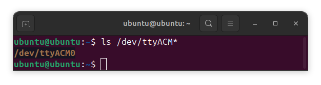
You can verify that the system detects the device hardware by running the following command:
ls /dev/ttyACM*
Look for the corresponding device in the output list to confirm a successful physical connection.
Step 2: Environment setup and package building
Download the ao_lidar_node2 package from the Official GitHub Repository below:
📥 Download ao_lidar_node2 folder
Assuming the default user workspace is located at ~/ros2_ws, follow the steps below to set up the environment and build the package:
-
Create a workspace:
mkdir -p ~/ros2_ws/src -
Copy the
ao_lidar_node2folder to~/ros2_ws/src. -
Change path to
~/ros2_wsand build the package:cd ~/ros2_wscolcon build --packages-select ao_lidar_node2
Note: If your workspace is located in a different directory, please adjust the path accordingly.
Step 3: Publish the LiDAR topics and visualize point clouds in RViz
-
Source the setup files:
source ~/ros2_ws/install/setup.bash -
Run the ao_lidar_node2 and view the LiDAR point clouds with RViz:
ros2 launch ao_lidar_node2 topaz_b_rviz.launch.py
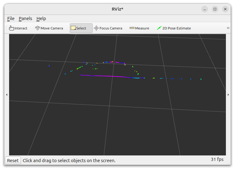
You should now see the RViz window displaying the real-time LiDAR point cloud data!